House to start drawing new election maps Wednesday
By Mitch Kokai, Carolina Journal
The N.C. House committee charged with drawing new state election maps will start the formal map-drawing process Wednesday morning. Members can work on maps from 9 a.m. to as late as 5 p.m. each weekday until the process is complete.
The entire process will be livestreamed, with video and audio feeds available from the state Legislative Office Building's largest committee rooms. Neither the committee nor the full House will consider any maps drawn outside the committee rooms.
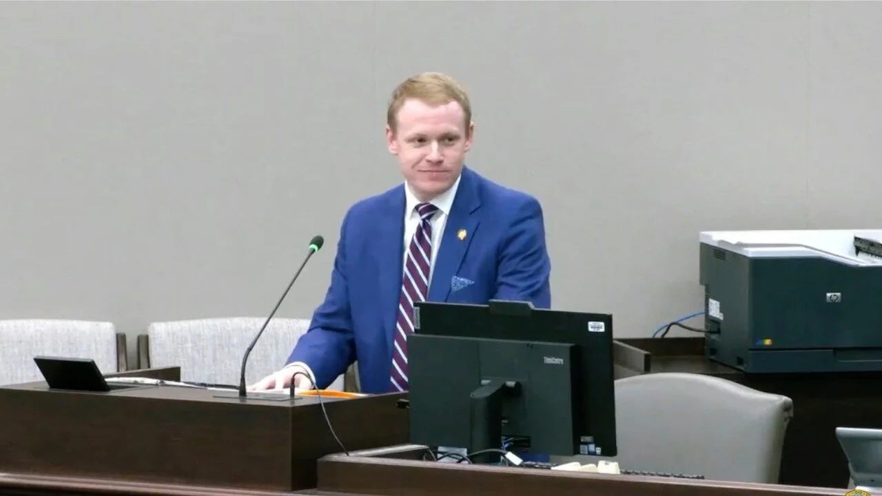
Rep. Destin Hall, R-Caldwell, told House Redistricting Committee members that he hopes the process can be completed by the end of October.
"I really don't know when we're going to be done," said Hall, who chairs both the redistricting group and the House's powerful Rules Committee. "I believe we need to be done by the end of this month."
"The problem is ... we are drawing the whole map for the first time, I guess, since 2011," Hall said. "I've been through this process a number of times, but it's always typically been with a more limited part of the map that we're required to redraw."
Lawsuits from Democrats and left-of-center activist groups have forced the Republican-led General Assembly to redraw election maps multiple times since their first map-drawing process following the 2010 census. The state's last redistricting effort involved a court-ordered process in 2019. It featured open, live-streamed drawing of legislative and congressional maps. The state used those maps for the 2020 elections.
"This is so unprecedented," Hall said of drawing a brand new map with the open process. "We have never done it this way. This body has never drawn the whole map in complete public view with live audio, live video. We don't know how long that process is going to take."
Part of the process already has been set. Hall and legislative staff told committee members they will start drawing maps using county groupings identified by researchers from Duke University. Grouping or clustering counties together will help lawmakers ensure that new districts avoid splitting county lines unnecessarily.
The groupings limit options for drawing district lines. But the Duke researchers identified three locations — in northwest, southeast, and northeast North Carolina — where lawmakers still must choose how to group counties together.
The process outlined during Tuesday's two-hour committee meeting only applies to new maps for the N.C. House's 120 districts. A separate Senate committee will draw a map with 50 updated districts for that chamber.
House and Senate redistricting committees will work together on a new congressional map. That map will incorporate a new 14th district for North Carolina's delegation to the U.S. House of Representatives.
Hall offered no timetable for work on the congressional map. He's focusing attention first on the state House map, he said.


